
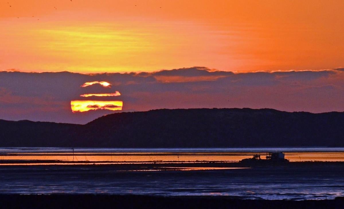
The sun sets at Morro Bay.
The 1st of September marked the beginning of Meteorological fall; however, the first day of Astronomical fall (Autumnal Equinox) does not occur until September 22 this year.
Astronomical seasons different from Meteorological seasons because meteorologists define the seasons based in groups of three months, for example, September, October, and November for fall, while Astronomical seasons are based upon the Earth's axial tilt of about 23.4 degrees.
Equinox comes from the Latin phrase for "equal nights," and we are losing between two and three minutes of daylight each day at our latitude at this time of the year.
Despite the loss of daylight, the warmest month of the year in Central California along the beaches does not occur until October; it is September in the coastal valleys. In the inland valleys, it is the months of July and August.
You see, the ocean and atmosphere are like a large cargo ship with plenty of momentum; it takes time to change its temperature course. That is why the peak of the Atlantic hurricane season historically occurs on September 10.
Even though we are well past the summer solstice on June 20, the longest day of the year, another historic heat wave is forecast this Labor Day weekend, just a few weeks after the mid-August heat wave, as a massive dome of high pressure will produce near or record-breaking temperatures in California, Arizona, and Oregon.
The California Independent System Operator (CAISO), the state's electrical grid manager, has issued a Flex Alert and is calling for afternoon and evening energy conservation as one way to make sure that the supply of power stays ahead of the demand. The National Weather Service office in office in Oxnard issued a warning of "rare, dangerous very possibly deadly" heat across Central and Southern California.
So, what is causing this unprecedented heat, and how hot will it be along the Central Coast?
Meteorologists determine the thickness of the atmosphere by analyzing 500-millibar upper-level charts. The 500-millibar line is the halfway point of the atmosphere's mass above the Earth's surface. The higher the 500-millibar line, the thicker the atmosphere and the warmer it will be.
Anything above 580 decameters (dm) will usually give hot temperatures if near 600 dm, record-breaking during summer as a heat dome develops.
The 500 millibar line could increase to an unheard of 599 dm (5,990 meters or 19,650 feet) during September over the Central Coast on Sunday into Labor Day. This condition is expected to produce a high temperature of 116 degrees at the Paso Robles Airport on Sunday and 115 on Monday if smoke from the numerous California wildfires does not provide shade.
If Paso Robles reaches 116 degrees, it will be an all-time high. The record in Paso Robles is 115 degrees set back on July 20, 1960, and again on September 2, 2017.
High temperatures in the coastal valleys are also expected to reach triple-digit levels on Sunday, with San Luis Obispo hitting 103 degrees, and Santa Maria 100 degrees. If these predictions verify, they will set new daily highs.
The record high in San Luis Obispo on Sunday is 101 degrees, set back in 2004, and 96 degrees set in 1958 in Santa Maria.
The warmest part of the day should occur along the Central Coast beaches during the late morning due to the Santa Lucia winds' compressional heating before the northwesterly winds bring cooler air from the Pacific during the afternoon.
Since the 1990s, the number of near 600 dm domes of high pressure during the summer months has increased.
It is disturbing to review the record high and low-temperature data in September at the Paso Robles Airport. The weather observations at the airport stretch back to 1948. Even though there are 52 years of temperature data from the 1900s versus only 20 years in the 2000s, there are 15 high-temperature records set in this century, compared to 11 in the last century as of Friday. That ratio may change to 17 to 9 by Monday!
PG&E offers five simple steps to cut your energy usage and help the state get through the coming heat wave. 1) Let cooler air in during the morning. 2) Close the shades (block the sun). 3) Use a fan. 4) Clear the area around your AC. 5) Set the thermostat to 78 degrees 6) Turn off the pool pump by 3 p.m.
For heat safety and other energy-saving tips, please visit www.pge.com
John Lindsey is Pacific Gas and Electric Co.’s Diablo Canyon Power Plant marine meteorologist and a media relations representative. Email him at pgeweather@pge.com or follow him on Twitter @PGE_John.
Subscribe to our Daily Headlines newsletter.
"occur" - Google News
September 06, 2020 at 09:30PM
https://ift.tt/2DCRLYE
Lindsey: Another historic heat wave forecast for Labor Day - Santa Maria Times
"occur" - Google News
https://ift.tt/2UoDqVw
https://ift.tt/2Wq6qvt
Bagikan Berita Ini


0 Response to "Lindsey: Another historic heat wave forecast for Labor Day - Santa Maria Times"
Post a Comment